See a SLIDESHOW of swimming hole photos in this state.
This swimming hole listing is by
www.swimmingholes.org
BRANDYWINE RIVER
(BRAN)
|
|
TOWNS | WILMINGTON |
|---|
| LAT, LON | lat=39.8460, lon=-75.5950(source: DeLorme) (accuracy:general area)
LINK TO GOOGLE MAP |
|---|
|
STATE | DE |
|---|
|
WATER | Brandywine River |
|---|
|
TYPE | River |
|---|
|
DESCRIPTION | Primarily a tubing place, very popular on a hot summer day. This description from a fan:" Put-in on RT 100 south of the Brandywine River Museum, get out whenever you get too wrinkled or the beer runs out, usually at Smith Bridge or Thompson's Bridge. Tubing on the Brandywine, while more linear than a swimmin' hole, is a whole string of holes that let the current swim you." TUBING INFO(See also BRANDYWINE in Pennsylvania) |
|---|
|
AREAS | None |
|---|
|
SANCTION | Unofficial (there are outfitters there) |
|---|
|
FEE | Unknown |
|---|
|
FACILITIES |
Unknown |
|---|
|
ACTIVITIES |
Tubing, Swimming |
|---|
|
PHONE | Unknown |
|---|
|
CAMPING | None at site. |
|---|
|
BATHING SUITS | Required |
|---|
|
DIRECTIONS | From Chadd's Ford, PA (at the Brandywine Museum) on RT 1, go south on RT 100. Put-in on somewhere on RT 100, get out at Smith Bridge or Thompson's Bridge (see Mapquest map for info about these bridges.) |
|---|
|
CONFIDENCE | Very confident |
|---|
|
VERIFIED | No |
|---|
|
DATE UPDATED | 6/3/2003 |
|---|
|
|---|
This swimming hole listing is by
www.swimmingholes.org
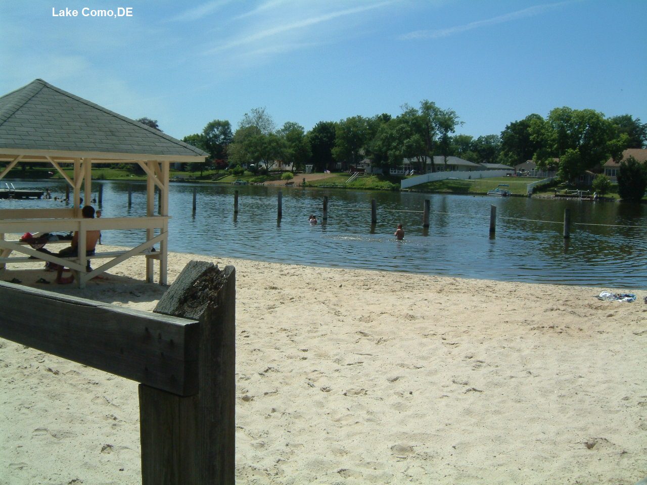
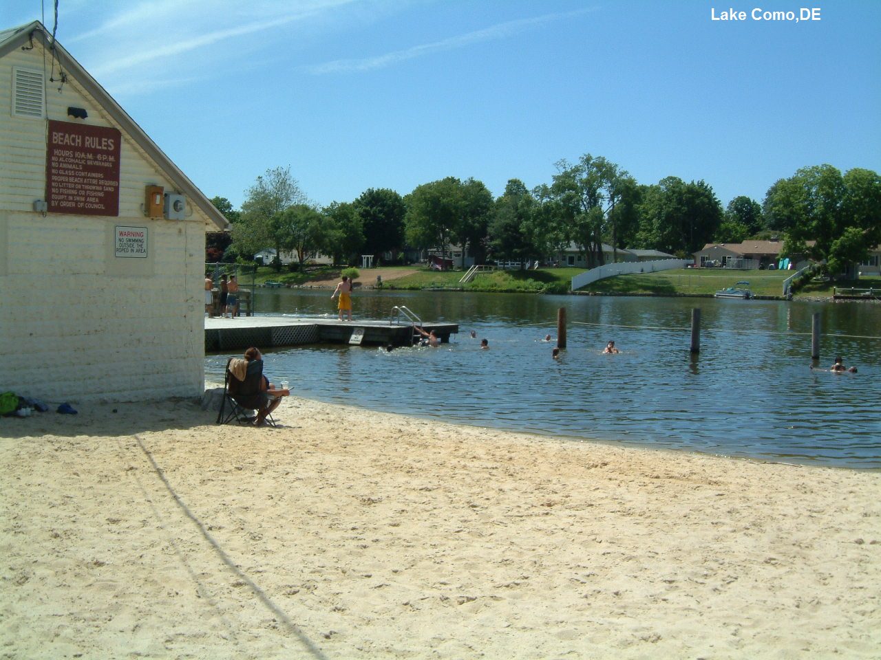
LAKE COMO
(LAKC)
|
|
TOWNS | DOVER, SMYRNA |
|---|
| LAT, LON | lat=39.29714, lon=-75.60126(source: Measured) (accuracy: exact)
LINK TO GOOGLE MAP |
|---|
|
STATE | DE |
|---|
|
WATER | Lake Como |
|---|
|
TYPE | Lake |
|---|
|
DESCRIPTION | Town-operated, sandy lake beach with jumping from deck. |
|---|
|
AREAS | None |
|---|
|
SANCTION | Official |
|---|
|
FEE | None |
|---|
|
FACILITIES |
Picnic, toilets, lifeguards |
|---|
|
ACTIVITIES |
Swimming |
|---|
|
PHONE | Unknown |
|---|
|
CAMPING | None at site. |
|---|
|
BATHING SUITS | Required |
|---|
|
DIRECTIONS | From Wilmington, take RT 13 south to Smyrna. In Smyrna, turn west (left) on Main St. then IMMEDIATELY left again into the Lake Como Park and Beach. |
|---|
|
CONFIDENCE | Very confident |
|---|
|
VERIFIED | Yes, 6/2013 |
|---|
|
DATE UPDATED | 6/2013 |
|---|
|
|---|
This swimming hole listing is by
www.swimmingholes.org
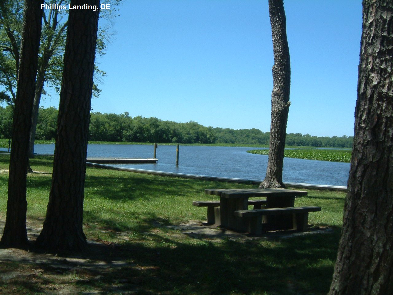
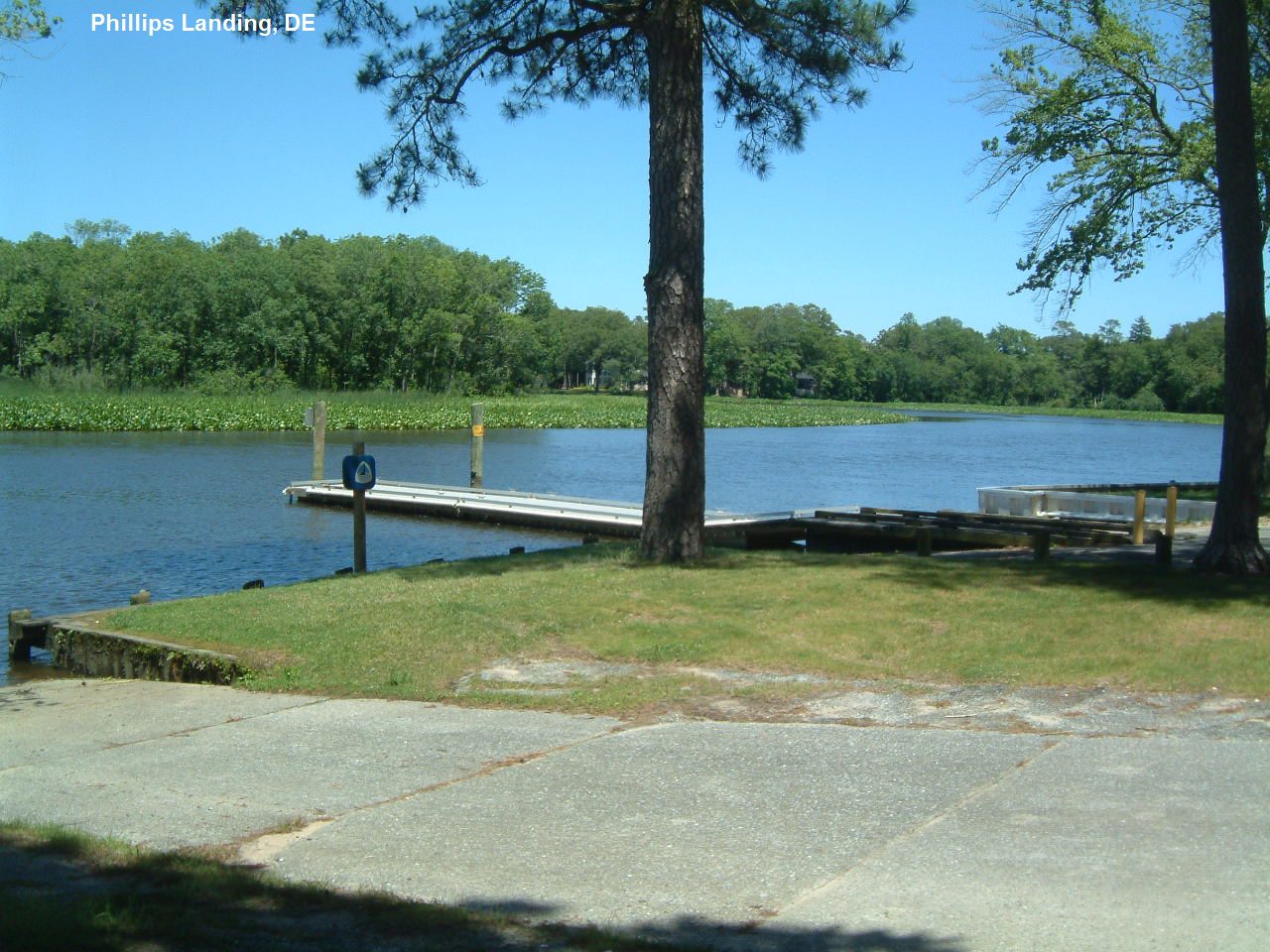
PHILLIPS LANDING
(PHIL)
|
|
TOWNS | SALISBURY, SEAFORD, BETHEL |
|---|
| LAT, LON | lat=38.5643, lon=-75.6723(source: DeLorme) (accuracy:exact)
LINK TO GOOGLE MAP |
|---|
|
STATE | DE |
|---|
|
WATER | Nanticoke River |
|---|
|
TYPE | River |
|---|
|
DESCRIPTION | A state recreation area on the Nanticoke River. Mainly a picnic/park and boat launch ramp, but many people also swim there. (Sign says "no swimming"). BE CAREFUL OF POWER BOATS! |
|---|
|
AREAS | Phillips Landing Recreation Area |
|---|
|
SANCTION | Unofficial swimming |
|---|
|
FEE | None |
|---|
|
FACILITIES |
Picnic |
|---|
|
ACTIVITIES |
Swimming |
|---|
|
PHONE | Unknown |
|---|
|
CAMPING | None at site. Camp nearby at Trap Pond State Park (there is no longer swimming allowed at Trap Pond.) |
|---|
|
BATHING SUITS | Customary |
|---|
|
DIRECTIONS | From Salisbury, RT 13 north to Laurel, then RT 577 (Woodland Ferry Rd.) northwest to Bethel Rd. Take Bethel Rd. through Bethel, going over the Bethel bridges, to Portsville. Take the second right after Portsville Pond, and follow the signs to Phillips Landing. |
|---|
|
CONFIDENCE | Very confident |
|---|
|
VERIFIED | Yes, 6/2013 |
|---|
|
DATE UPDATED | 6/2013 |
|---|
|
|---|
HOME
|
